Course Description
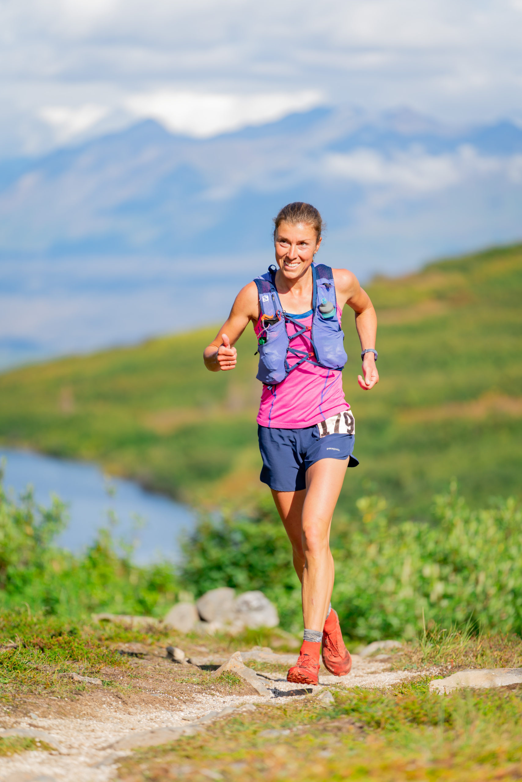
Christy Marvin cruises in 2020. Photo by Eric Strabel
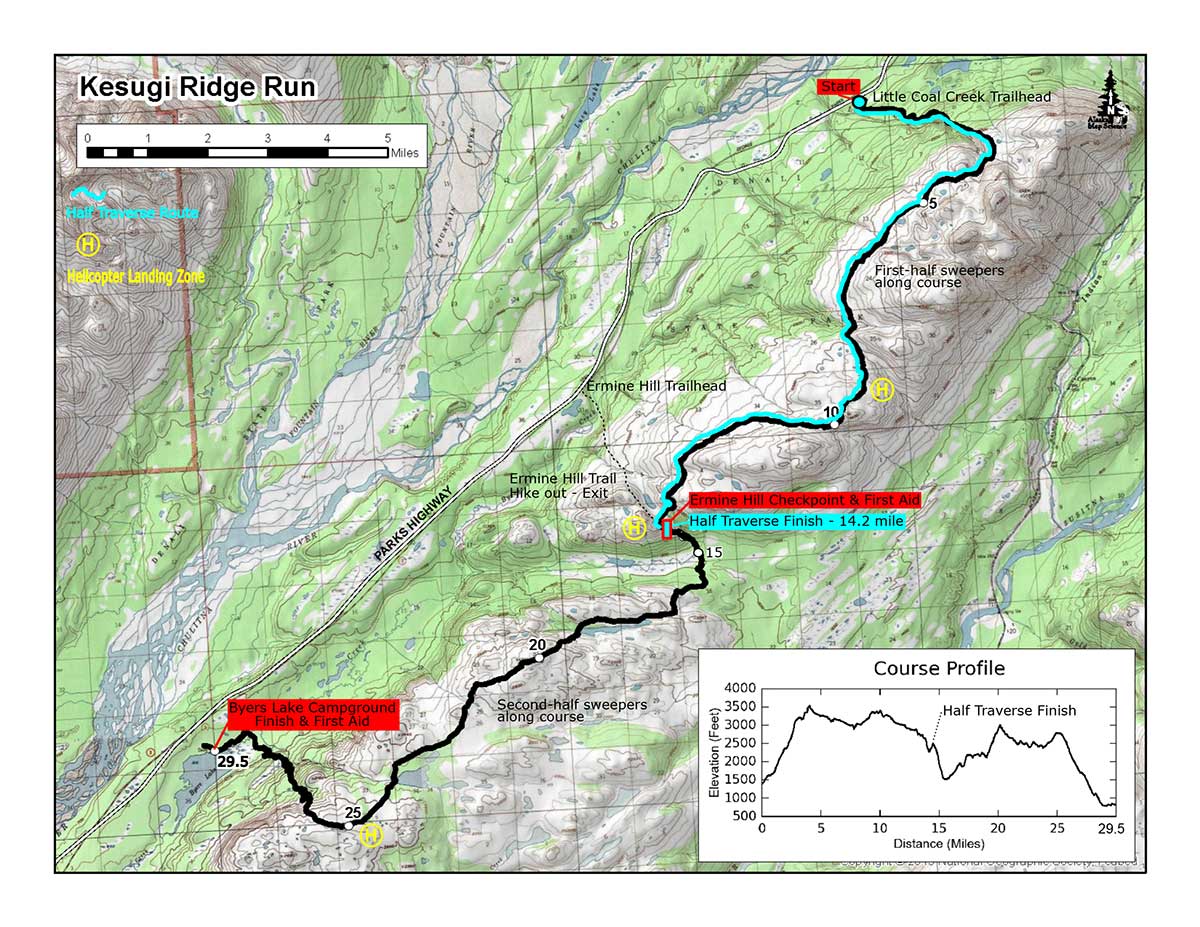
The point-to-point Kesugi Full Traverse starts at the Little Coal Creek Trailhead and finishes at Byers Lake Campground. It is approximately 31 miles.
The Kesugi Ridge Half Traverse starts at Little Coal Creek Trailhead and finishes just beyond the Ermine Hill Trail Junction. It is approximately 14.2 miles. (Participants will then travel 3.5 miles at their own leisure to the Parks Highway via the Ermine Hill Trail).
Detailed descriptions can be found in the hiking guides 55 Ways to the Wilderness (5th edition by Helen Nienhueser & John Wolfe Jr., Hiking Alaska by Dean Littlepage, and Outside in the Interior by Kyle Joly.
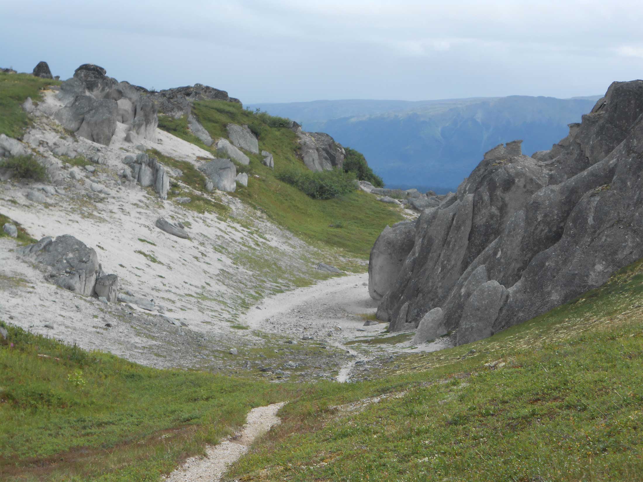
A brief course description
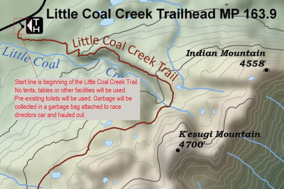
Located in Denali State Park, the Kesugi Ridge Traverse course starts at the Little Coal Creek Trailhead (Parks Highway Mile 163.9) and finishes 31 miles later at Byers Lake Campground (Mile 147).
Starting at an elevation of 1,400 feet, the trail climbs steadily in the opening four miles to an alpine ridge with a high point of 3,500 feet. The trail is marked with cairns in most places.
When visibility allows, views of the Eldridge Glacier and Denali, the largest peak in North America, are prominent.
Nearly halfway, the Ermine Hill Trail comes in from the right (elevation 2,300 feet). The Kesugi Ridge Half Traverse (about 14.2 miles) ends a short distance uphill from this junction at a rock formation called “The Doors.” After their race, Half Traverse participants take the Ermine Hill Trail 3.5 miles back to the Parks Highway at their leisure. The Ermine Hill Trailhead is at Mile 156.5. A volunteer shuttle or pre-arranged personal shuttle will return runners to Byers Lake Campground.
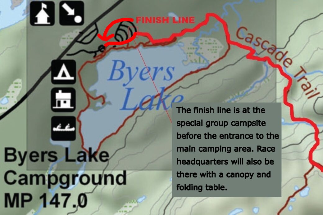
Beyond “The Doors”, the Full Traverse descends to 1,500 feet before it climbs back above treeline, passes Skinny Lake and reaches almost 3,000 feet at Golog Point near Mile 20. Around Mile 25, the course begins a long, switchbacked descent to Byers Lake via the Cascade Trail. When you reach the bridge crossing, you still have 1.6 miles to go! The end of the course is well marked and generally follows above or next to the lake (it does not veer right to the main campground). The course ends in the Byers Lake Group Campsite (elevation 800 feet) near the boat rental area with food, drinks and awards. The total elevation gain is 6,200 feet and elevation loss is 6,800 feet.
Be aware this is not a race for beginners. Long-distance trail running experience is a must. Familiarity with the course is important. Past races have featured rain, snow, cold, and limited visibility. Sections of the course are extremely technical and can be swampy.
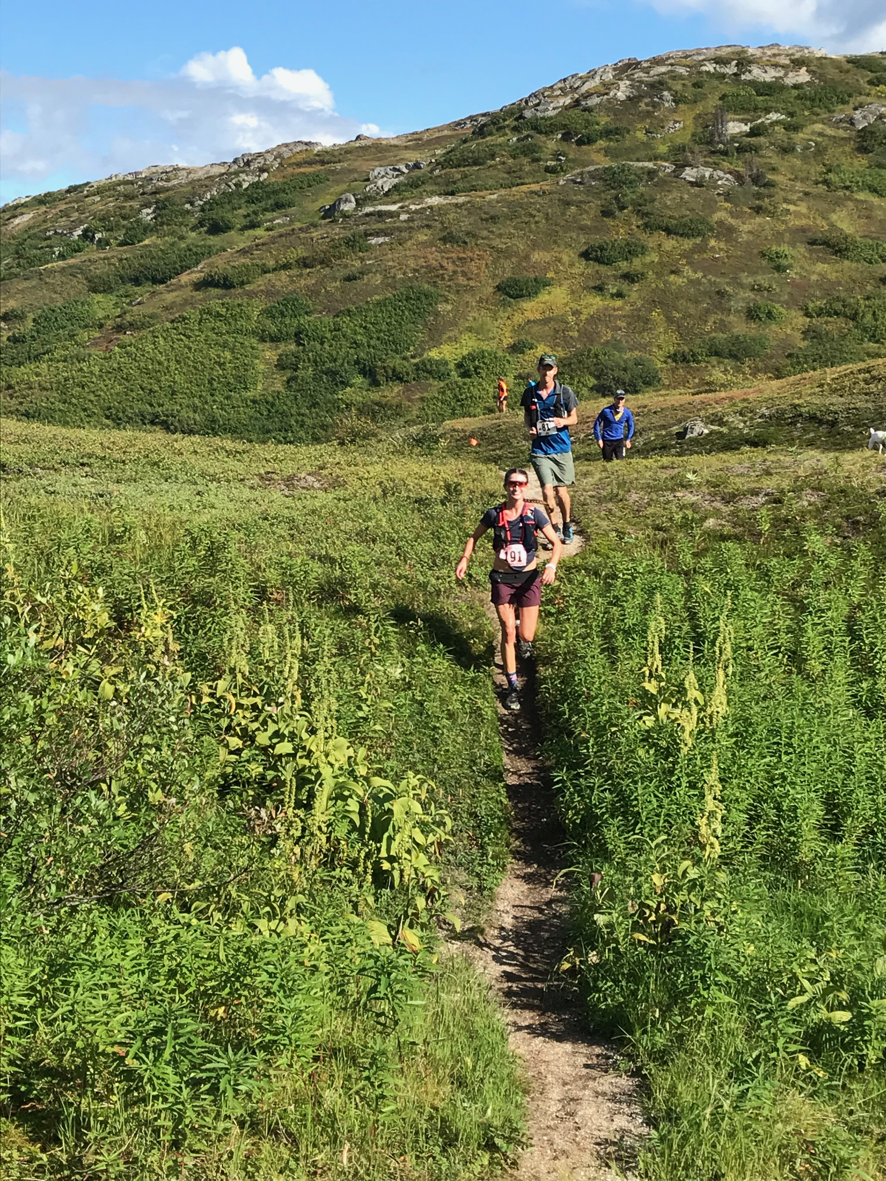
Map of the start
Map of the finish
